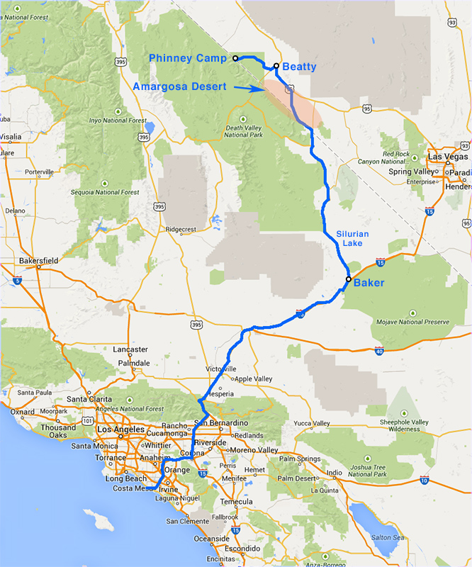
Day 2, Saturday August 10: Huntington Beach to Nevada Triangle
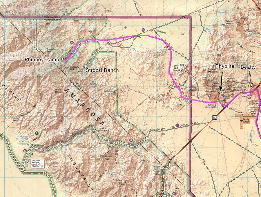
Drive from Huntington Beach to the Nevada Triangle, Amargosa Desert, Phinney Canyon, Grapevine Mountains
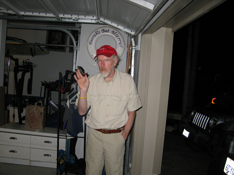
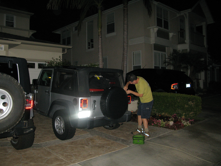
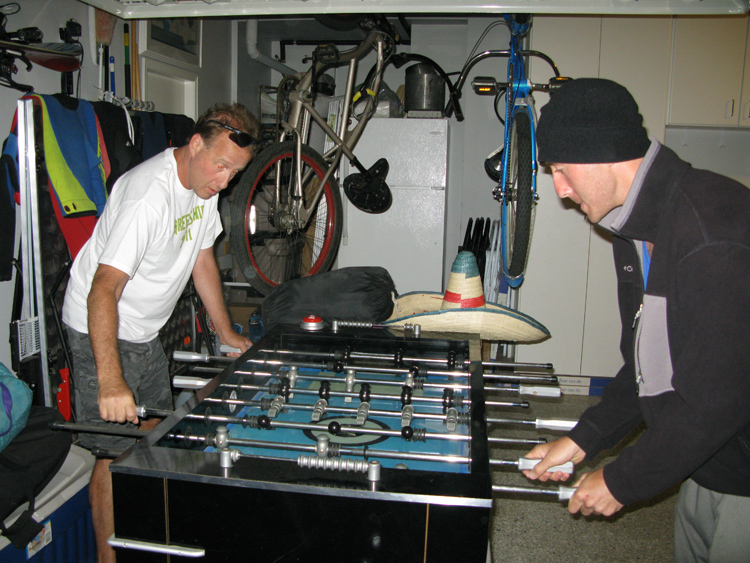
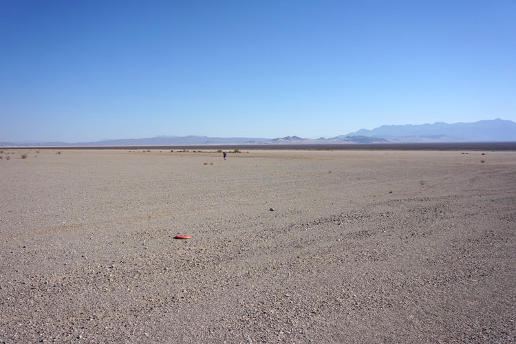
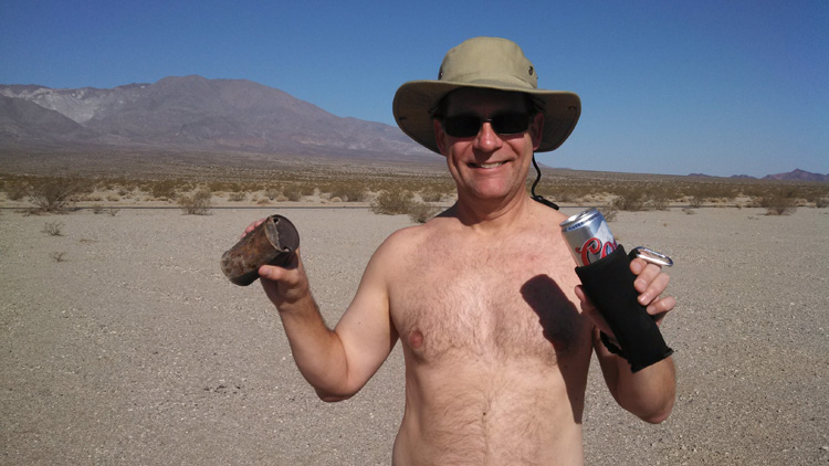
We were up bright-eyed at 2am, had croissants and coffee, moved stuff from the refrigerator to the coolers, and battened down the jeeps in time to leave the house at 3:15am. Joey and Greg even had time for a 3am game of Fussball. We drove nonstop, mostly on I-15, for 1½ hours until I noticed the bikini top in my jeep starting to unroll, so we got off at a Main St. exit just before Victorville to fix it. While off the highway we got coffee at the nearby Shell (and maybe even filled up with gas). We continued nonstop on I-15 and arrived in Baker at 6:30am for breakfast at Denny’s. The breakfast stop and a fill-up took a bit over 1½ hours, and were back on the road by 8:10am. From Baker we drove due north on two-lane, utterly deserted CA 127, stopping on the way at a tantalizingly flat, sparsely vegetated stretch of desert at Silurian Lake (dry) that screamed “Frisbee me, please!” Alas, though trying for more than 15 minutes, the Frisbee was useless in this high wind. The Aerobie did a little better, but it was still hard work. So instead, we drowned our sorrows in our first beers. Here Bobby found what looked like an ancient beer can, the kind where you had to puncture the top with a church key.
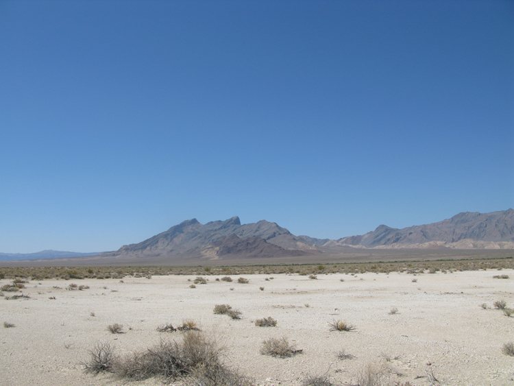
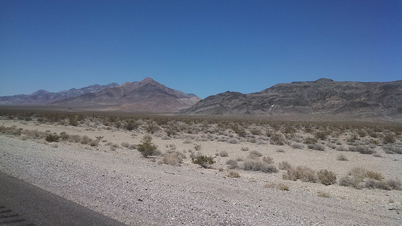
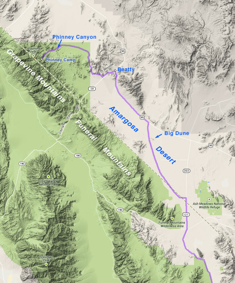
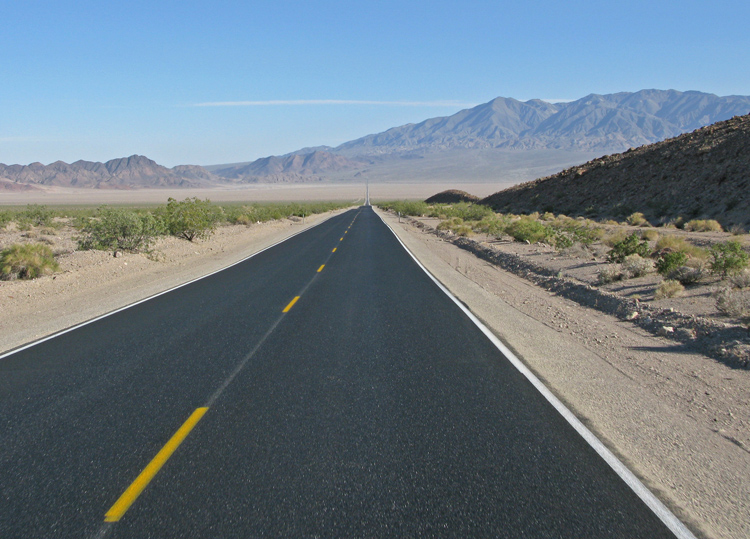
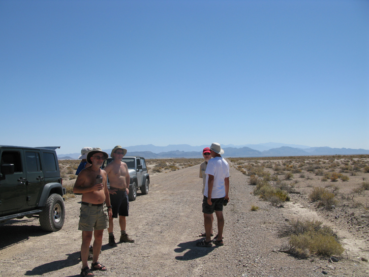
The normal route to Death Valley’s west side is to go north on CA 127 to U.S. 95, and take that to Beatty. This is a remote route across amazing country, with many stretches of the road perfectly straight for miles, where you can see to infinity. But this time we cut a corner and stayed off a lot of the highway, in order to see some backroads in the Amargosa Desert closer to the CA-NV border, which I always wanted experience close up. Two hours up CA 127 after leaving Baker, at 10:10am, we reached the Nevada border, where the road became NV 393. It was 91°, a good desert temperature. Within a mile of the border, we turned left (west) onto our first dirt road, opposite a little sign at the far corner that said Diaz Dr., that angled back toward California again. Just 1.3 miles down this road, with nothing but flat desert and thin scrub around, I determined from the GPS that we reached the border. There seemed to be vehicle tracks parallel to the border on both sides of this imaginary line, but no other indication that is a border. We chose this spot for our first desert chore: air down the tires, release the sway bars, and have another beer. We might have had a Frisbee game, too, because this stop took an hour.
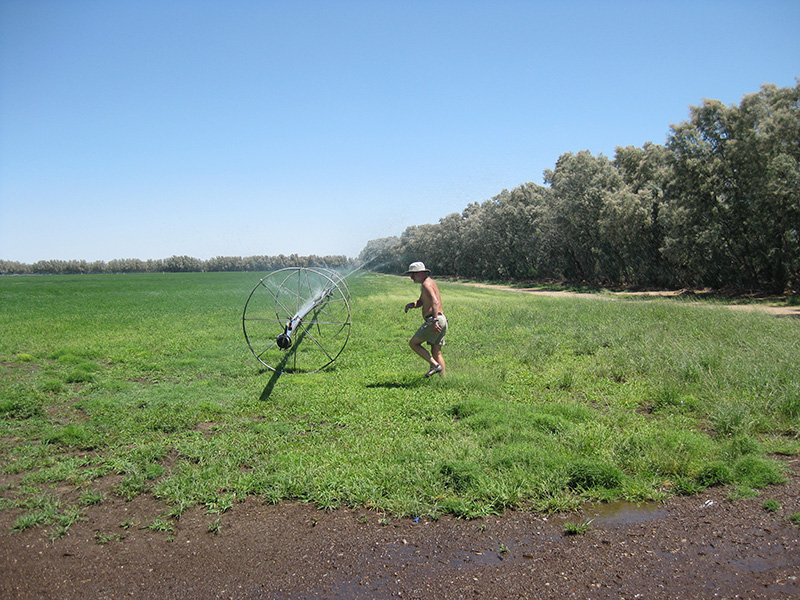
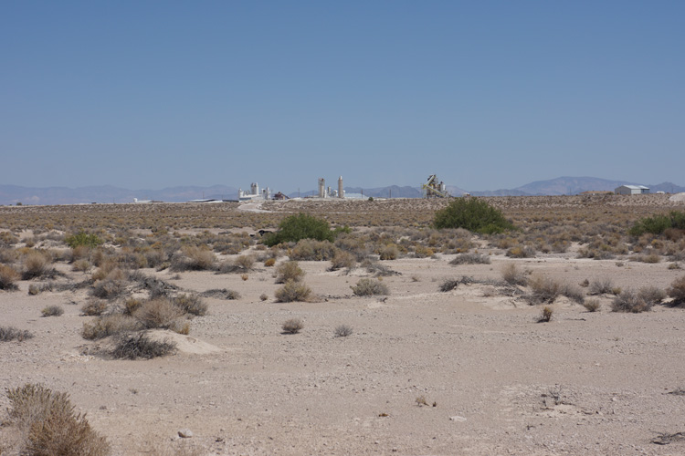
For the next 3 hours we continued easy driving on numerous dirt roads past irrigated fields and across large tracts of desert, occasionally straddling the border, but mostly in Nevada. Each time we came to the border we saw those parallel tracks again. Early on we found some mounds of pure white mine tailings, dumped in a couple of places, and later saw a big factory in the distance, which I determined was IMV Nevada, a company that makes products from varieties of clay and mud. The white stuff was likely calcium bentonite, one use of which is cat litter. Also we stopped at one of those giant rolling sprinklers (this one was linear, not rotary), where Greg and Joey (with a lot of screaming) blasted their heads.
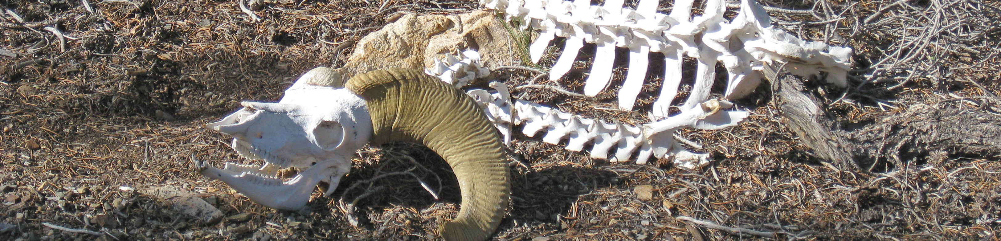
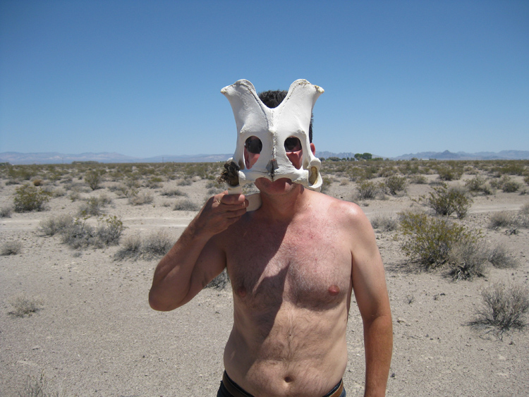
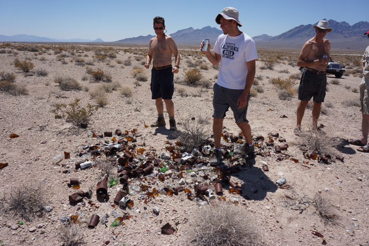
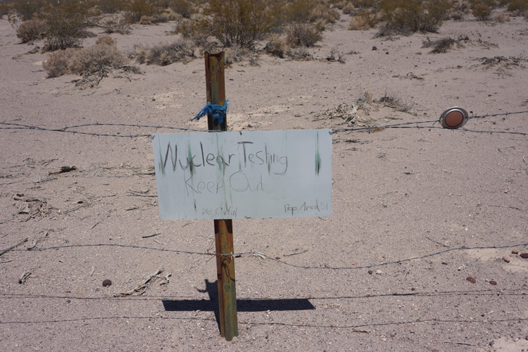
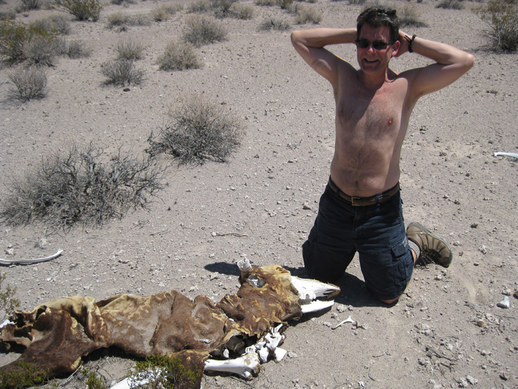
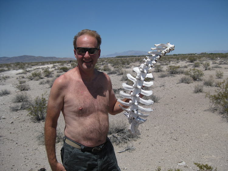
During our drive through the Amargosa Desert we stopped at every interesting thing on the way, that is, anything other than dirt and scrub. We saw a large rusty tin can dump, and then a sign on a fencepost that said "Nuclear Testing/Keep Out/Be Careful/Prop Area 51" that looked like it was written in pencil by a kid. But the big prize on this stretch of road was a cattle skeleton with the hide still on it. There was a complete backbone with ribs still attached, that you could pick up without breaking it apart.
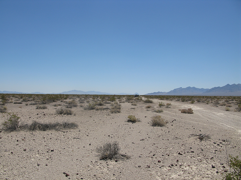
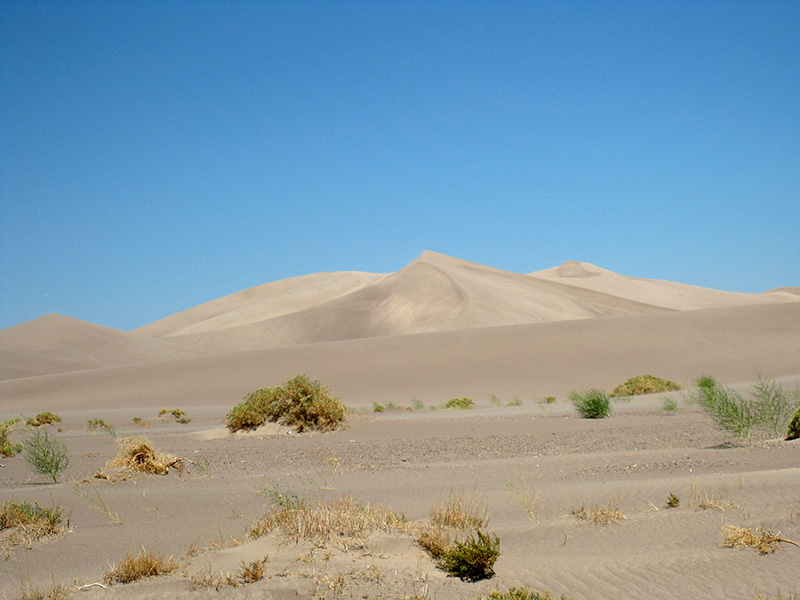
Another point of interest along this road is Big Dune, a sand dune about 2 miles across and 300' high that’s used as an off-road playground by locals. We were on the more remote west side, so there was no road right up to it, but we saw a number of vehicle tracks in the dirt heading that way, so we went cross country. It was kind of a slalom course between high shrubs, trying to follow tracks that people made before us. In ½ mile we reached the base of the sand, and even went a little into the sand while it was still level. But soon it felt too mushy for our tires, which were not deflated enough for sand driving. It would be no fun getting stuck early the first morning. But even being cautious, the rental jeep had trouble turning around without spinning its wheels. We walked out onto the sand, but only a few feet and not as far as the slope up the dune. It would have been nice to hike to the top, but we could only afford to spend a few minutes here.
We were back to the main dirt road a half hour after we left it, at 2pm. We had to make a decision: continue in the desert or head back to U.S. 95 and to Beatty. Given the time, we chose the dreaded highway, which at this point was only a mile away. We reached Beatty a half hour later. I hadn’t been to Beatty since the late 70’s, and my memory was of a dreary, run down town, but it seemed a bit livelier now and was bustling with activity near the center. Since this was our last chance before Death Valley, we topped off the gas and bought 3 more bags of ice.
After 15 minutes in Beatty we went west on NV 58 for just 4 miles, and turned right onto a road that was to take us into the Nevada Triangle portion of Death Valley National Park, our home for the next 3 days. This is not to be confused with the notorious Nevada Triangle that has supposedly killed thousands. There is no sign here but Google Maps indicates it may be called Pioneer Rd. The Nevada Triangle has just a handful of 4WD spur roads that go west toward the California Border but stop short of it because the Grapevine Mountains in the Amargosa Range are in the way. My hope was to find a campsite on the Phinney Canyon Road where it ends at a pass in the Grapevine Mountains overlooking Death Valley. I had no information about that pass other than what I could glean from maps and Google Earth, but the location seemed promising (passes usually are, especially if the road ends at them). On the way to Pioneer Rd. we drove past another turnoff to the famous Rhyolite Ghost Town that I would have liked to see, but it was getting late, considering we still had 24 miles to go on a road of unknown condition.
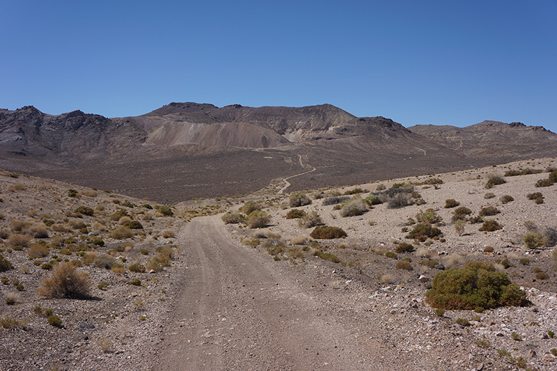
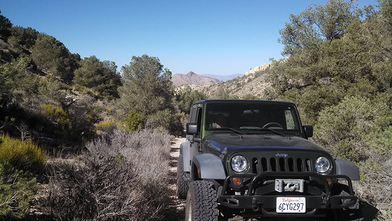
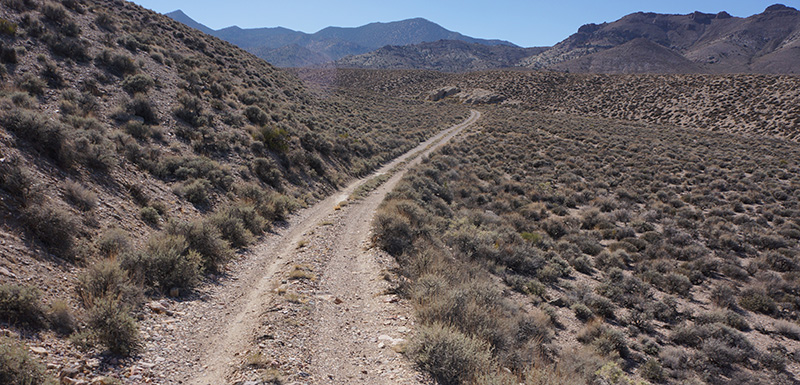
Pioneer Road was paved at the beginning, but within a couple miles turned to dirt. Most of the dirt road was fairly good—we averaged about 15 mph while moving—but we also stopped at everything out of the ordinary, so we didn’t cover miles very quickly. It wasn’t all just one road, either, as we had to make a number of strategic turns.
From the time we got off the highway at the 3300' level, the road ascended ever so gradually toward the Grapevine Mountains, except for a short up and down over a pass in the Bullfrog Hills. It was mostly open country with sparse scrub. Sixteen miles and an hour and 15 minutes later, at 5000', we spotted a black wild horse about 1000' to the left. It was running parallel to the road at what I thought was a pretty fast pace, considering the rough country and heat. It had a clean shiny coat and appeared strong and healthy. I didn’t think a wild horse in this desert would look so good (I kind of expected them to be more like scraggly coyotes), so I thought maybe it was escaped from a ranch. The horse continued running nonstop, parallel to us for at least 10 minutes, until we lost track of it.
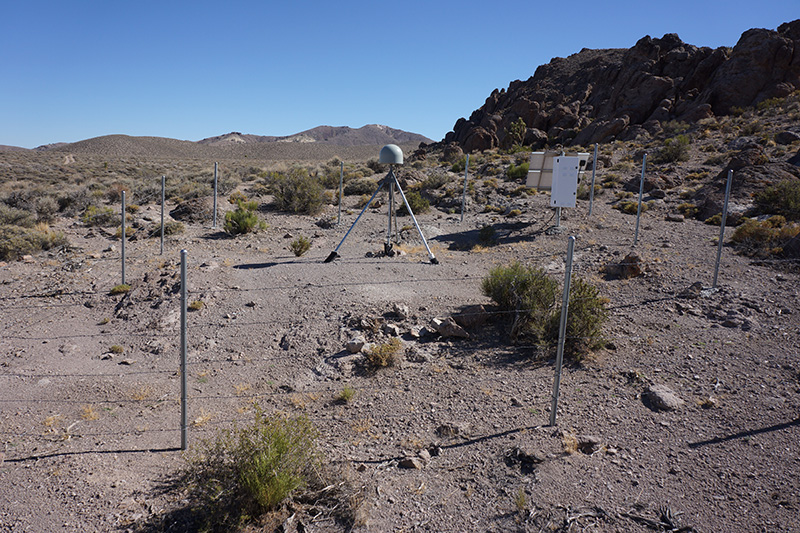
At the 5140' level we found a small dome on a tripod surrounded by a fence that I speculated was a seismograph. There were no markings or signs anywhere. I later researched this and determined it’s a GPS earthquake monitor, possibly part of the EarthScope project.
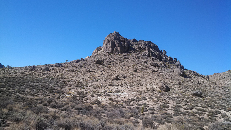
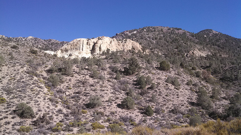
Around the 5200' foot level we saw some rock formations with tempting slots that looked good for exploring, but it was now 4pm, so we had to keep moving. At the 5600' level it became more obvious we were in Phinney Canyon, but it really looked more like a broad valley. We soon reached the elevation where desert scrub was replaced by pinyon pines and junipers. Here the canyon got a little narrower with steeper walls, and the road was much steeper and rougher. There was one fairly steep spot with a switchback, and right after that the rental jeep, with a couple inches less ground clearance than the others, bottomed out because of a trench in the road. A couple of times on the steepest sections of the road Joey’s jeep displayed a “hot oil” light that he never saw before. We didn’t know what this meant, but the problem went away each time after we stopped for 5 minutes, and it didn’t happen again the rest of the trip. Later we learned that it’s the transmission oil, an general issue with automatic transmissions in jeeps going up steep hills. Just stopping and letting the engine run in neutral would fix it. Many people install a transmission oil cooler for this problem.
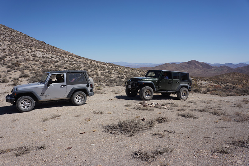
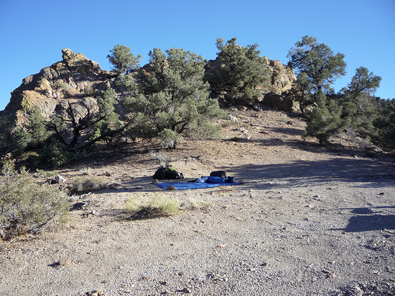
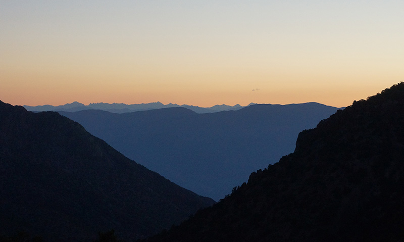
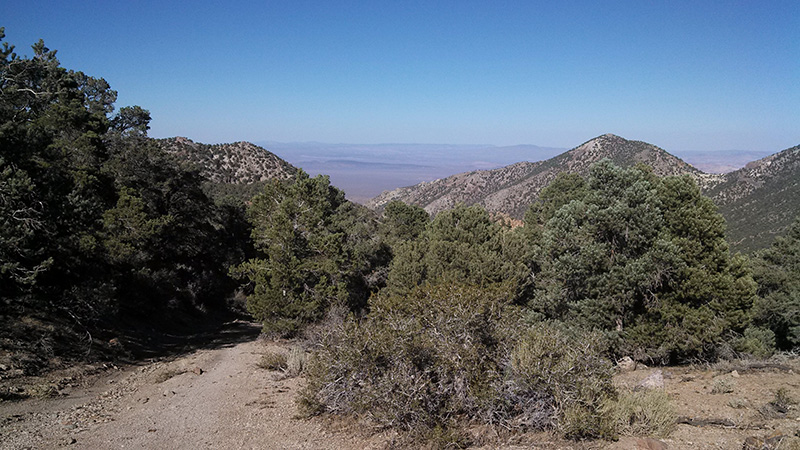
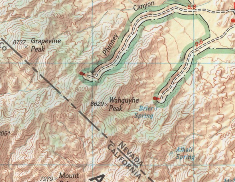
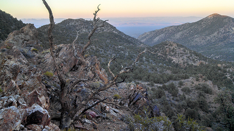
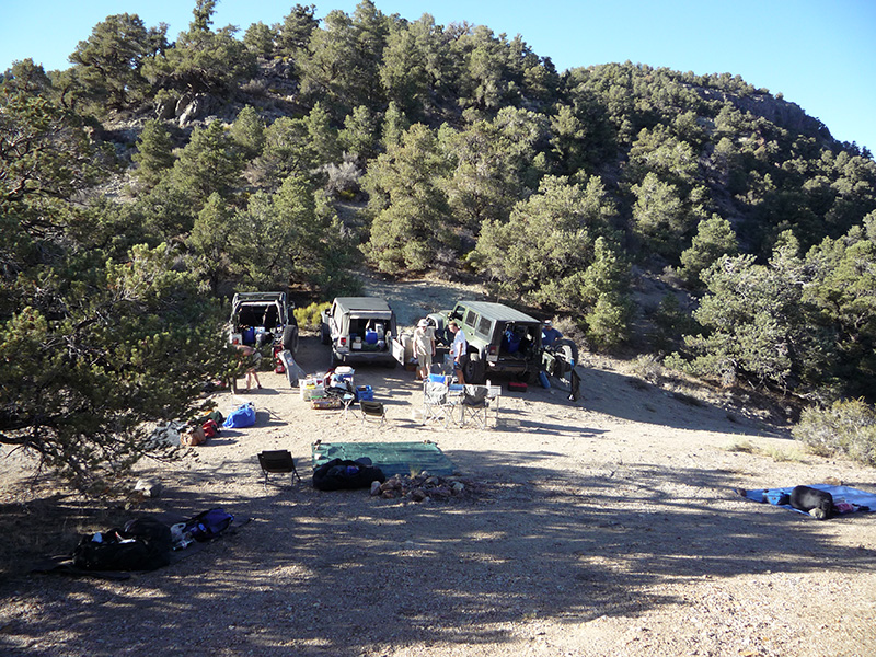
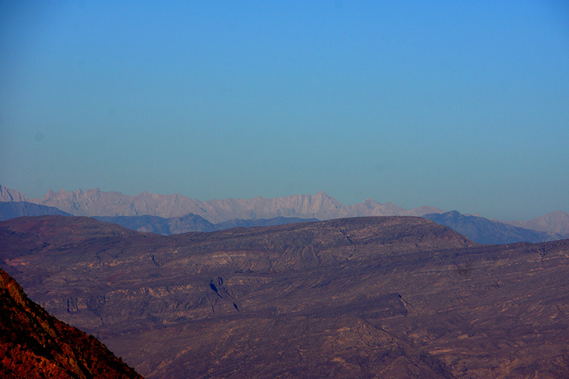
At 5pm we reached the pass and end of the road at 7500', at the crest of the Grapevine Mountains, less than a mile from the California border. We were in saddle between the two highest summits of the range, Grapevine Peak (8738') 2 miles to our north and Wahguyhe Peak (8628') 1.5 miles to our south. Nobody can tell me how to pronounce that funny name but I call it WAH-GEE-HEE. As I hoped, this was a wonderful spot for a campsite, with plenty of flat room to spread around. We had a view down Phinney Canyon that we just came from, and in the other direction to the west, the northern part of Death Valley. We could just make out the top of Wahguyhe Peak between the trees, but view of Grapevine Peak was blocked by the steep slope of the ridge next to us. In the distance beyond Death Valley we saw the Inyo Mountains and beyond, faintly, the snow-capped peaks of the Sierra Nevada. I later determined one of these was Mt. Whitney. There was no indication that anyone had ever camped here (not even vehicle tracks), but it was such an obvious spot that I’m sure people have done so. I’m calling this Phinney Camp.
I was slightly concerned that our campsite was right in middle of the road, as he road didn’t stop exactly at the high point of the pass. It went over the pass and down the other side, but only for 100' or so before being blocked by a wilderness sign. I figured as long as we provided enough space for someone to park and turn around, we were OK here. Of course, I thought it highly unlikely that anyone would show up, and nobody did for the 3 days we spent here. In fact, we never saw another soul the whole time we were in the Nevada Triangle—not even from a distance.
As we unpacked our stuff, we found that one of the brand new 5 gallon Sun Showers had leaked its entire contents into the back seat of Joey’s jeep, filling the floor 3" deep. His floor had no holes to drain this, but we were able to make a pretty effective siphon from the Sun Shower hose.
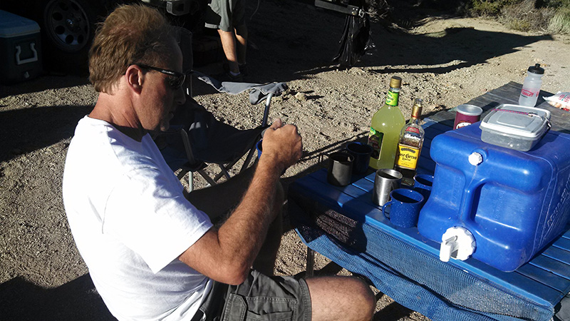
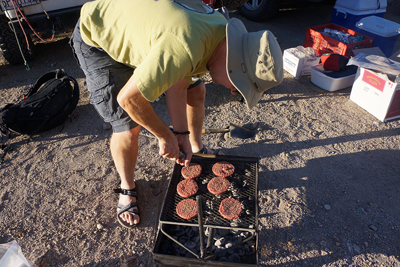
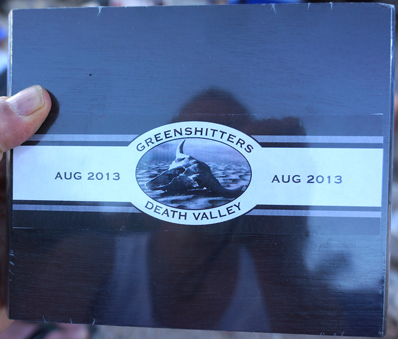
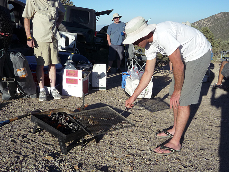
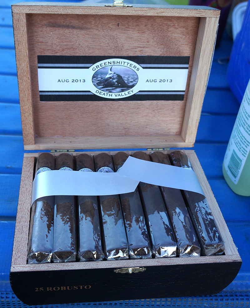
Once the siphon got started, Joey went to work on his nightly chore—the margaritas—while we had shrimp cocktail for an appetizer. Unlike last year, we didn’t lose the cocktail sauce. For dinner we had hamburgers cooked on the charcoal grill with all the trimmings. Bobby also grilled 10 of the shrimp with ¼ lime drizzled over them and Greg tried to roast one on a stick like a marshmallow. But Bob brought out the biggest treat of the evening: a box of private label Greenshitters Cigars. They were mellow and tasty, and with strategic rationing we made them last the whole trip.
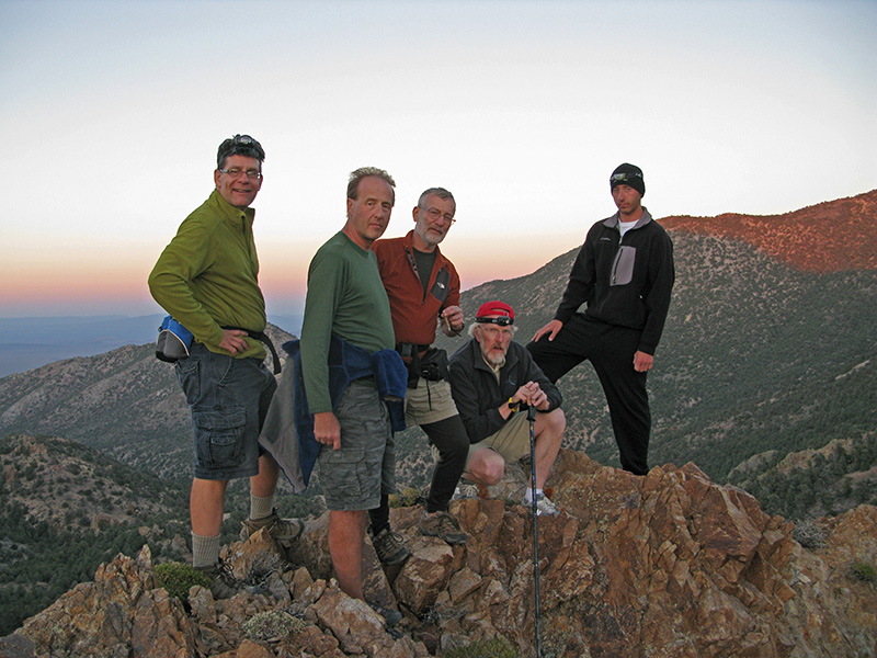
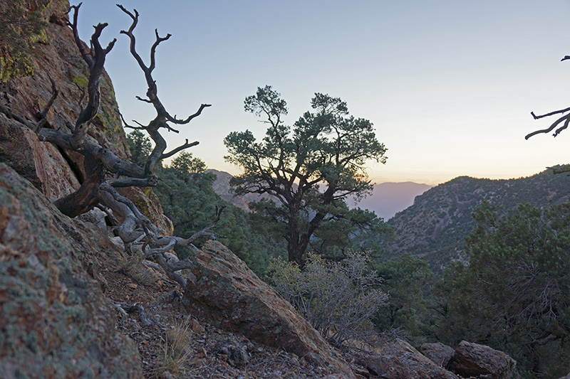
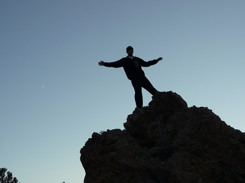
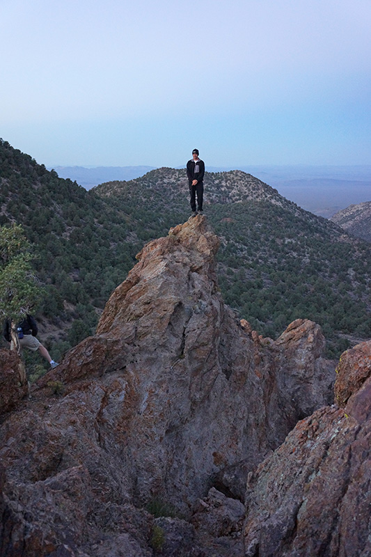
We were ready for a night hike by 7:30pm, just before dusk. We took a short 30-minute walk part way up the steep ridge to our south toward Wahguyhe, just 0.3 mi round trip. At the beginning of this hike we had an aerial view of our campsite, and soon we had unobstructed views to the east and the setting sun in the west. At the height we played around on the rocks and took a group photo.
Sitting around that night with our Lagavulin looking at stars on a crystal clear, windless night, we saw two very bright meteors that left trails that faded out slowly. They probably didn’t qualify as bolides, but they were at least fireballs. We also saw a couple of more typical quick meteor streaks.