|
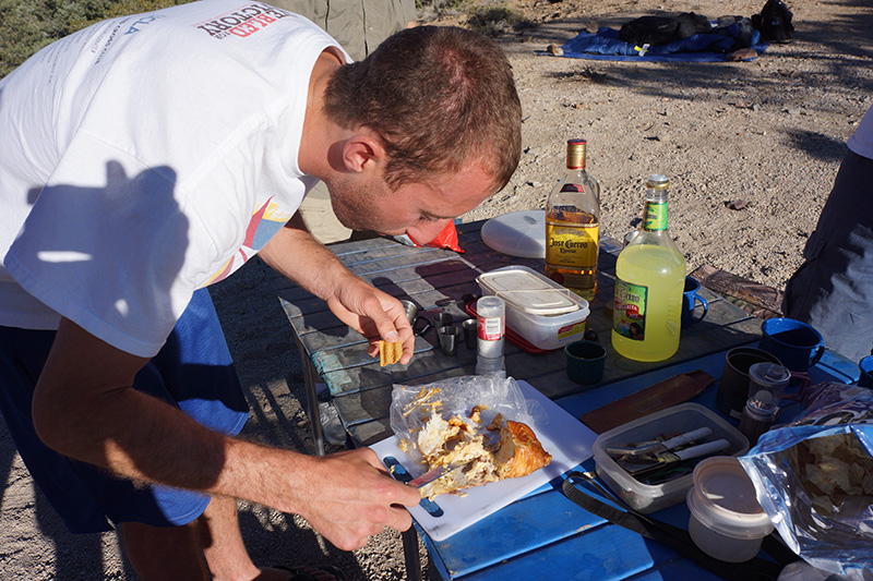
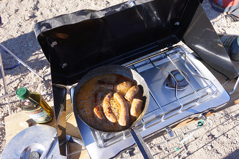
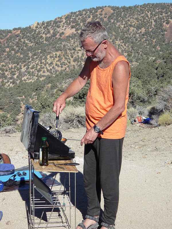
This morning when the sun rose at 6am it was 52°, considerably warmer than the night before. Still, for the third straight day, there was not a cloud. This time we noticed the morning sun nicely illuminating Mt. Whitney and neighboring peaks. Our breakfast included large chicken sausages, which we cooked in juice from the jalapeño jar, and of course Morrie’s signature veggie omelet.
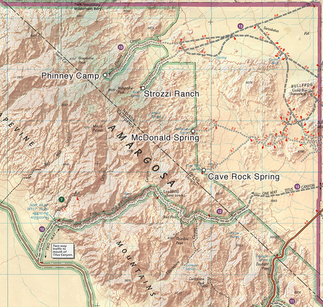
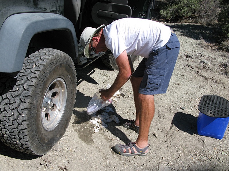
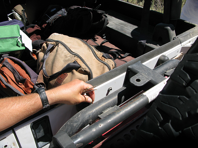
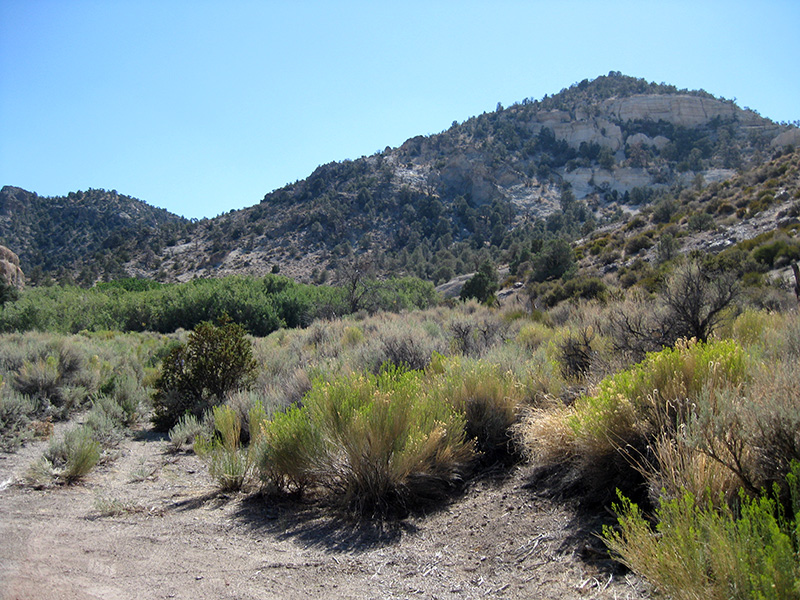
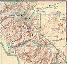 The plan today was to explore the ends of all the roads in the Nevada Triangle, one to Strozzi Ranch and two others to MacDonald Spring and Cave Rock Spring, thus completing every possible drivable route in this area. I didn’t think this was too ambitious, because the distances were not that great. According to the map, getting to Strozzi Ranch required going back down Phinney Canyon 6 miles and then up a neighboring canyon for 4 miles. The spur roads to the other two destinations were shorter. We planned to do this in 2 jeeps, leaving the rental jeep behind, so it wouldn’t have to repeat that bad stretch of road where it bottomed out the first day. But when opening up the back seat of Joey’s jeep to make room for the passengers, we found the floor was still wet from the shower flood. We sacrificed half a roll of paper towels to mop it up. The plan today was to explore the ends of all the roads in the Nevada Triangle, one to Strozzi Ranch and two others to MacDonald Spring and Cave Rock Spring, thus completing every possible drivable route in this area. I didn’t think this was too ambitious, because the distances were not that great. According to the map, getting to Strozzi Ranch required going back down Phinney Canyon 6 miles and then up a neighboring canyon for 4 miles. The spur roads to the other two destinations were shorter. We planned to do this in 2 jeeps, leaving the rental jeep behind, so it wouldn’t have to repeat that bad stretch of road where it bottomed out the first day. But when opening up the back seat of Joey’s jeep to make room for the passengers, we found the floor was still wet from the shower flood. We sacrificed half a roll of paper towels to mop it up.
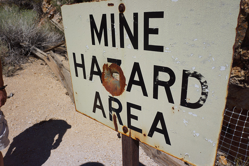
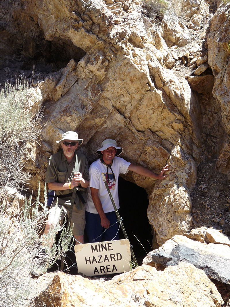
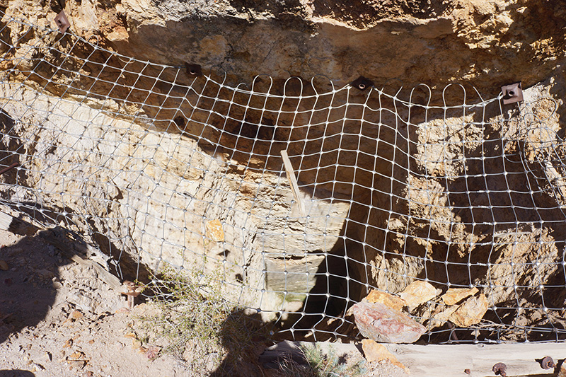
 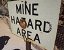 It took us an hour to drive the first mile down Phinney Canyon, because we made several long stops. Almost immediately after leaving the campsite we spent 15 minutes checking out a mine very close to the road, that had a wooden structure and a nice vertical shaft, but covered by heavy wire mesh, so we weren't able to fall in. Then in another 20 minutes we made a beer stop while trying to isolate and fix an annoying clunk on my jeep caused by the gas can/tire carrier. It took us an hour to drive the first mile down Phinney Canyon, because we made several long stops. Almost immediately after leaving the campsite we spent 15 minutes checking out a mine very close to the road, that had a wooden structure and a nice vertical shaft, but covered by heavy wire mesh, so we weren't able to fall in. Then in another 20 minutes we made a beer stop while trying to isolate and fix an annoying clunk on my jeep caused by the gas can/tire carrier.
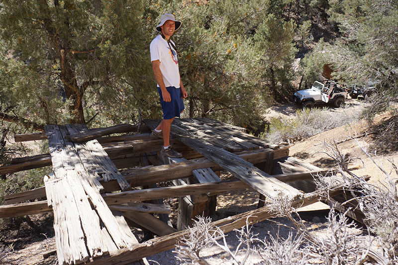
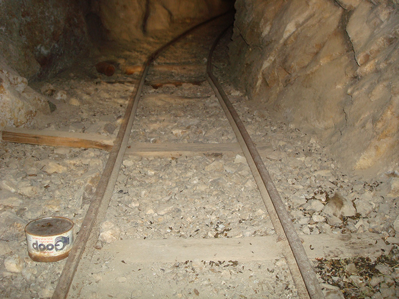
  Then, 1/3rd of a mile beyond, we stopped at Phinney Mine, a medim-sized operation from the 30’s with a some machinery and several tunnels, some of which you could enter. Most of the mine works were pretty close to the road, but we kept hiking 0.4 mile up a closed road to the last prospect we could see. That whole diversion took 1¼ hours, so it was 1pm by the time we got back to the jeeps, still only 1½ miles from our camp. But we were in no hurry. Then, 1/3rd of a mile beyond, we stopped at Phinney Mine, a medim-sized operation from the 30’s with a some machinery and several tunnels, some of which you could enter. Most of the mine works were pretty close to the road, but we kept hiking 0.4 mile up a closed road to the last prospect we could see. That whole diversion took 1¼ hours, so it was 1pm by the time we got back to the jeeps, still only 1½ miles from our camp. But we were in no hurry.
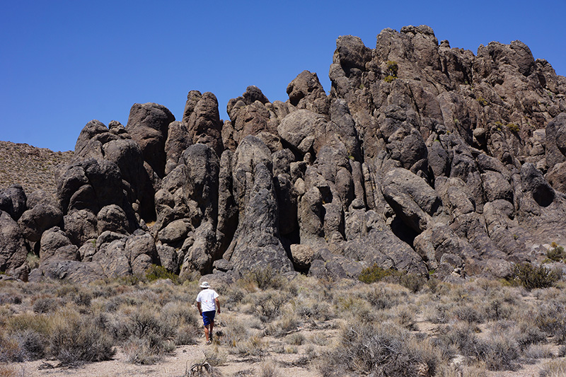
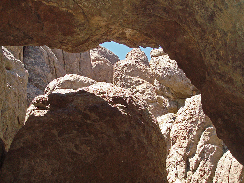
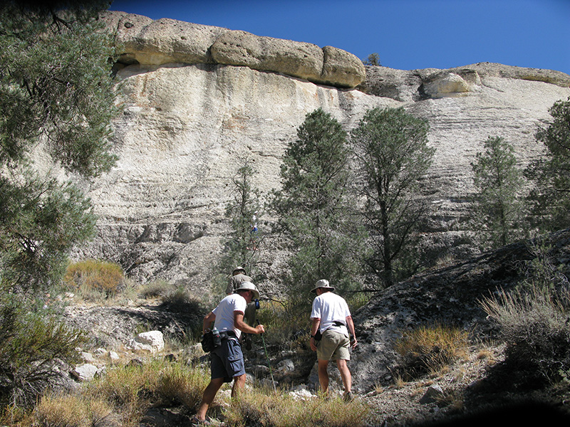
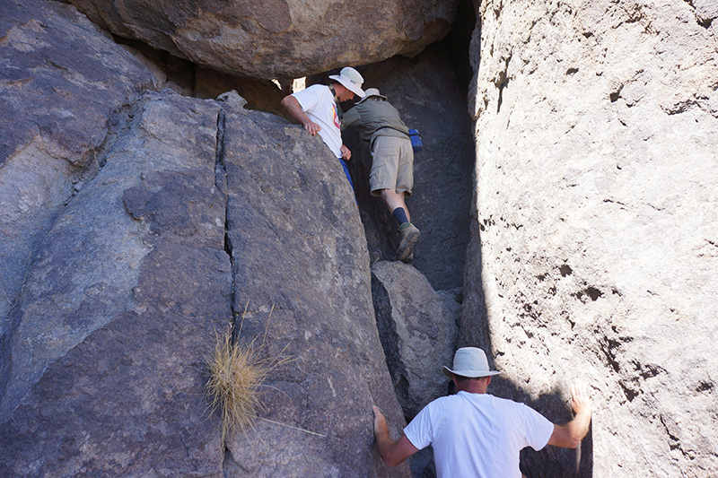
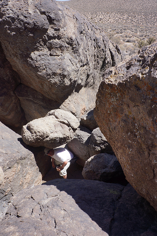
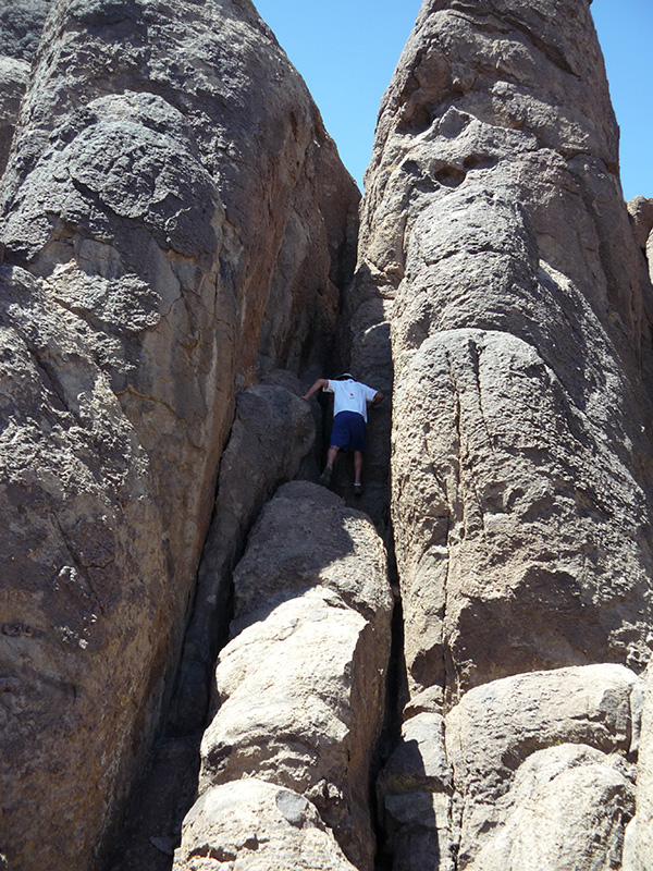
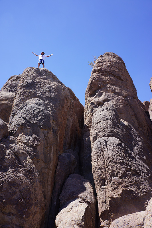
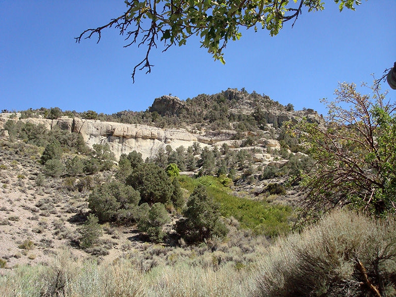
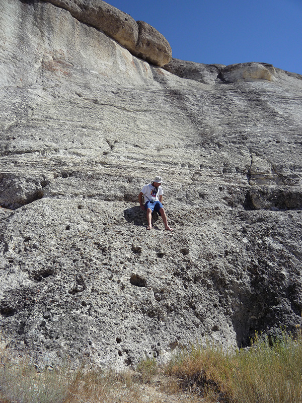
The next 5 miles down the Phinney Canyon road took just 30 minutes, and we reached the intersection with the road to Strozzi Ranch at 1:30pm. Here at the 5200' level, we turned right and began another gradual ascent toward the mountains, almost parallel to and 1½ miles south of the Phinney Canyon Road. In 0.4 mile up the road, we saw some interesting pinnacles with enticing slots a few hundred feet off to the right, so we checked them out. The slots were easily accessible and it was possible to climb in, through and over at many points, almost as if caving. But only Greg chose to climb to the very top of them. We played around here for 40 minutes.
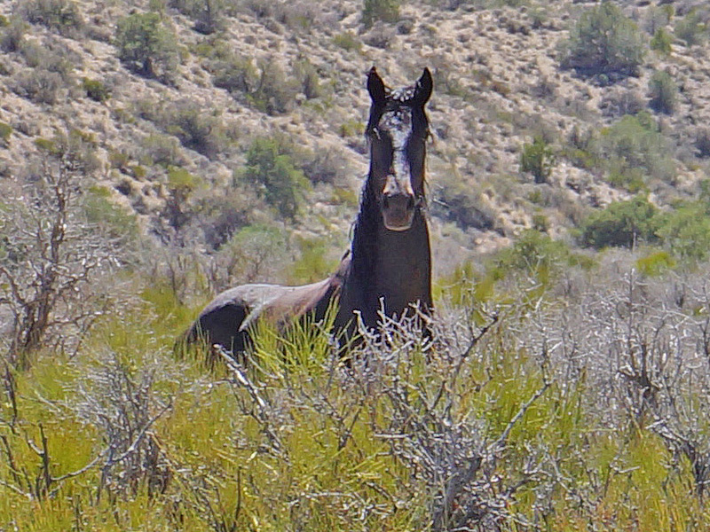
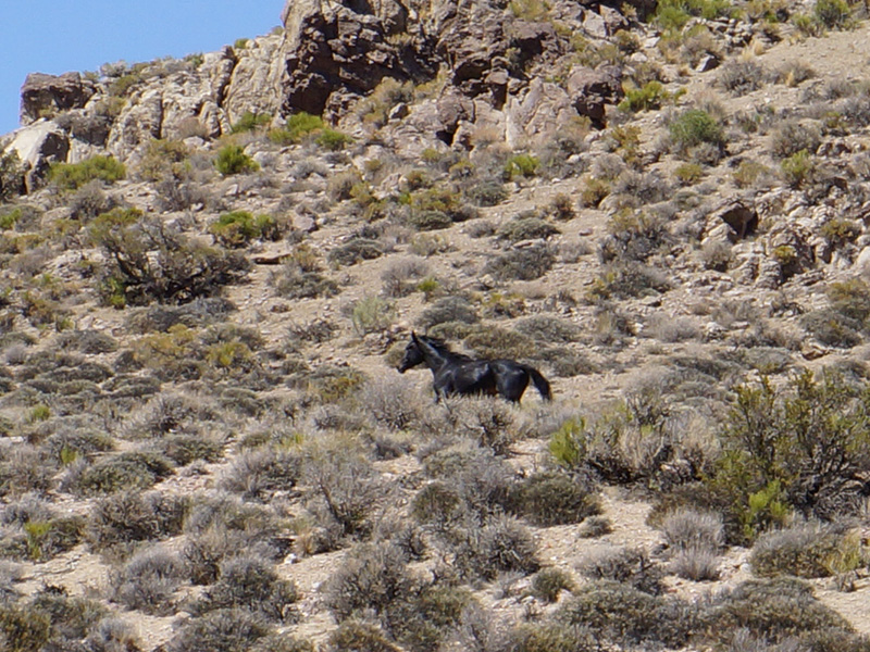
 Ten minutes after we started driving again, another black stallion appeared very close to us. Was it the same one we saw our first day? Maybe, as we were just on the other side of the low ridge separating us from the Phinney Canyon road where we saw the other horse. Suddenly the horse ran right into the road, immediately in front of our jeeps, galloping ahead of us. I wasn't sure whether it was taunting us, playing with us, or scared, but we tried to follow it with our jeeps. The horse obliged by staying the road, but it could easily outrun us: we were driving as fast as we dared, 12-14 mph, and could barely keep up. This continued for at least a thousand feet, before the horse finally went off to the side and up a ridge. Talking to other DV aficionados later, I found out that there are a number of wild horses in this area of the park, and that the stallion probably got us to chase him in order to draw us away from his harem. Ten minutes after we started driving again, another black stallion appeared very close to us. Was it the same one we saw our first day? Maybe, as we were just on the other side of the low ridge separating us from the Phinney Canyon road where we saw the other horse. Suddenly the horse ran right into the road, immediately in front of our jeeps, galloping ahead of us. I wasn't sure whether it was taunting us, playing with us, or scared, but we tried to follow it with our jeeps. The horse obliged by staying the road, but it could easily outrun us: we were driving as fast as we dared, 12-14 mph, and could barely keep up. This continued for at least a thousand feet, before the horse finally went off to the side and up a ridge. Talking to other DV aficionados later, I found out that there are a number of wild horses in this area of the park, and that the stallion probably got us to chase him in order to draw us away from his harem.
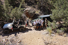
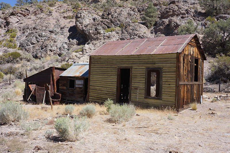
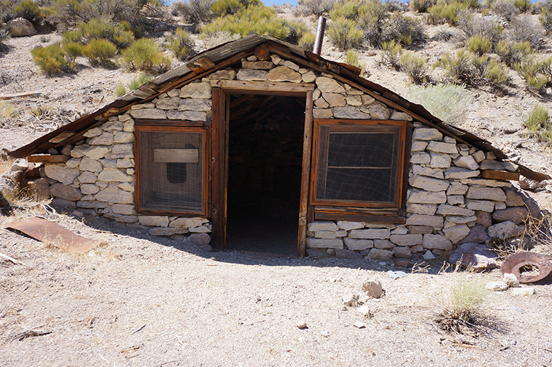
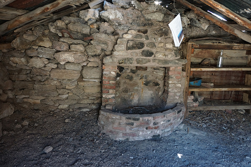
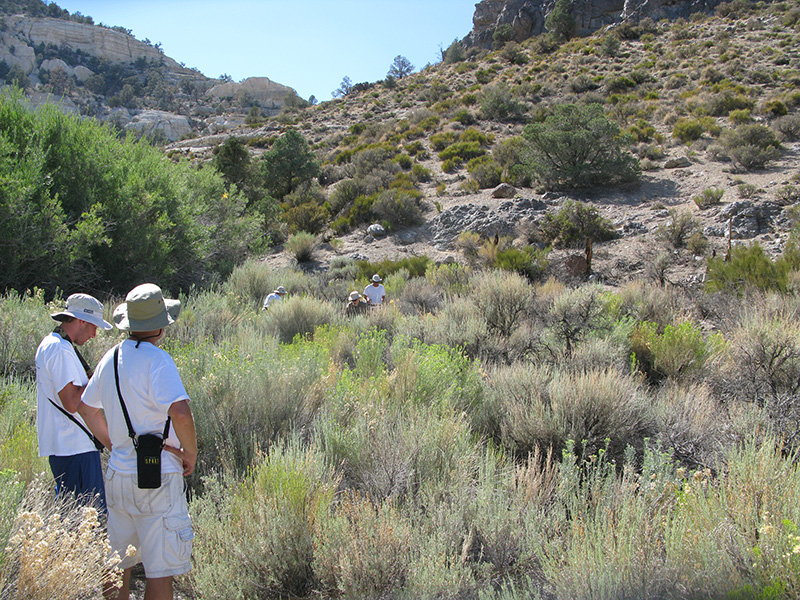
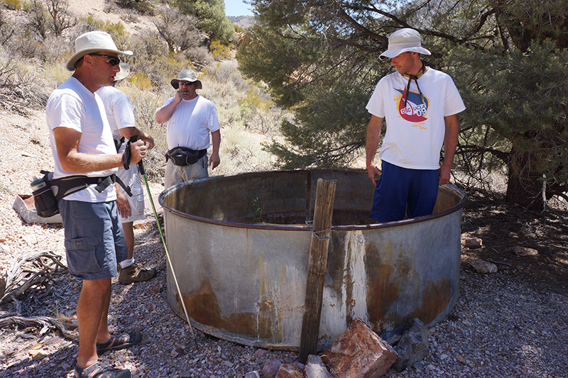
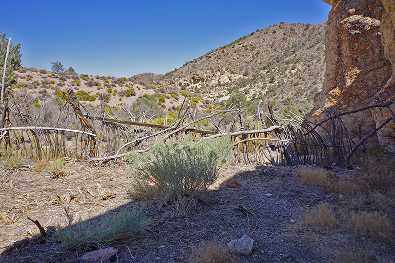
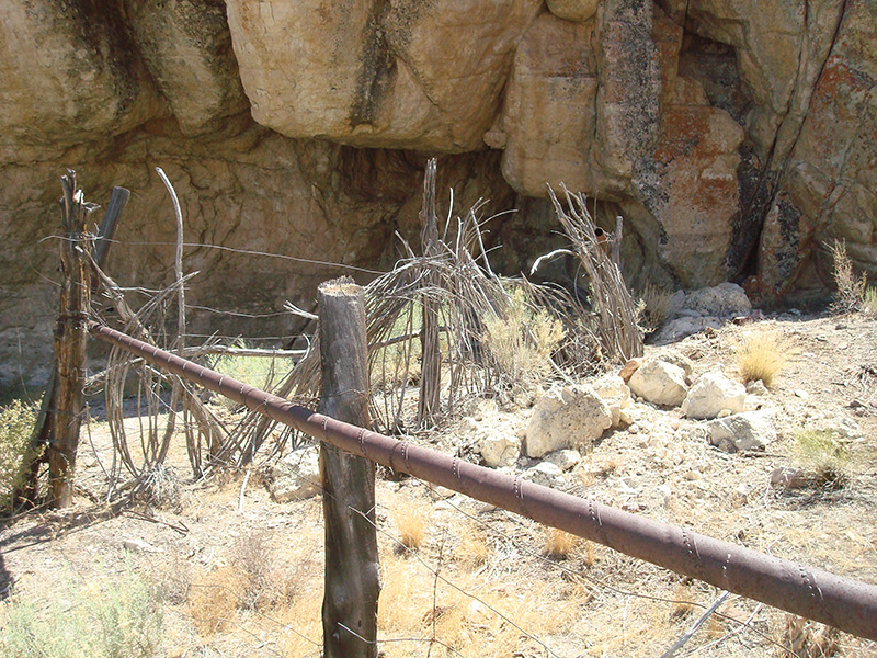
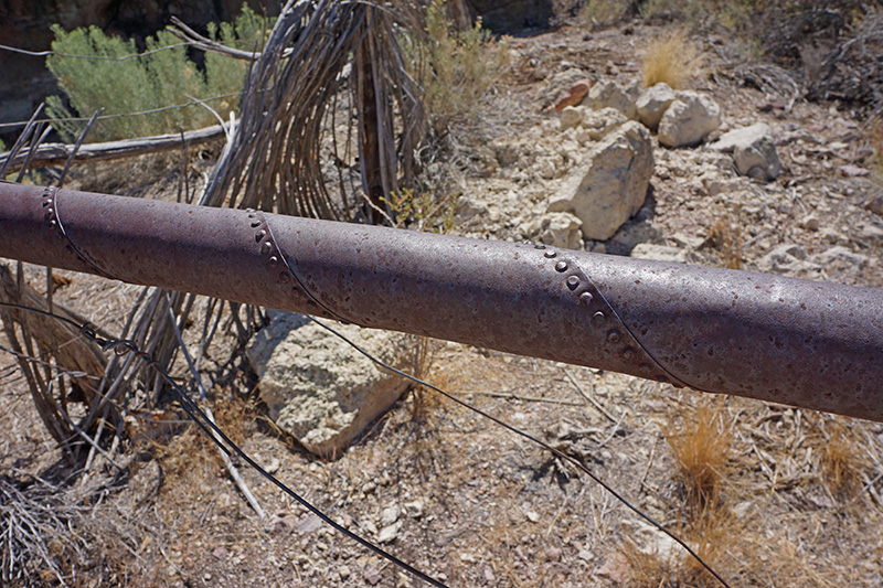
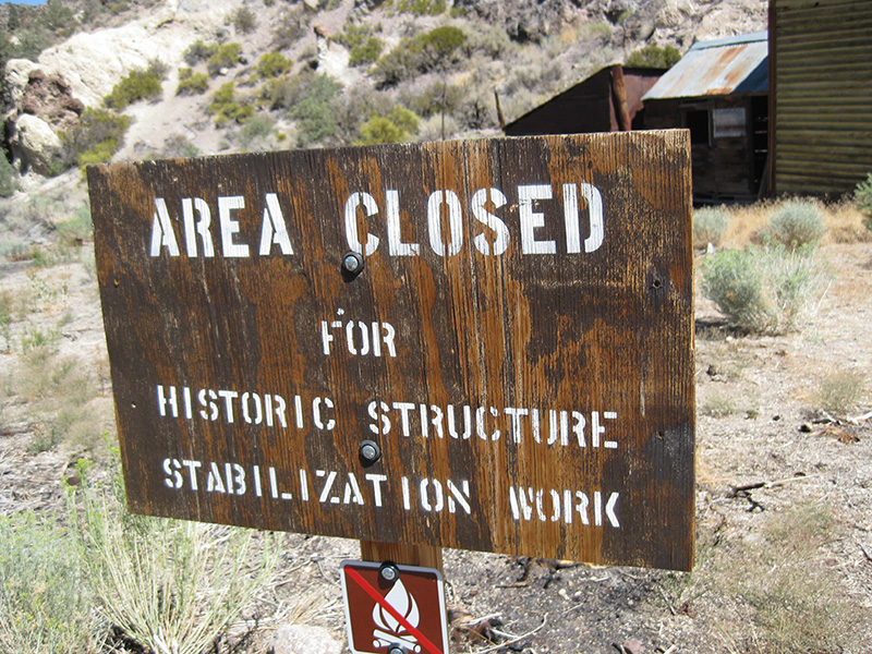
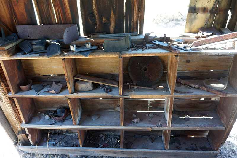
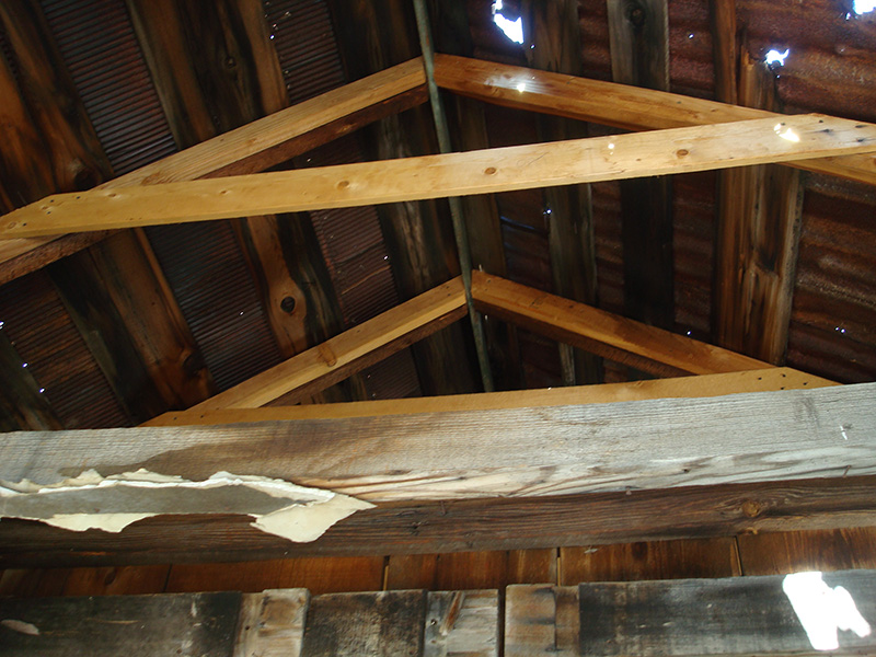
 We covered the next 3-mile stretch from the pinnacles in just 20 minutes, as the road was very smooth. At the 6150' level we took a little turnoff to the right to check out a little corral. Most interesting was the top rail of the fence made from a pipe that looked like it was wrought by spiral-winding a foot-wide strip of sheet metal, riveted together. After 10 minutes here we continued a few thousand feet further and arrived at Strozzi Ranch. We covered the next 3-mile stretch from the pinnacles in just 20 minutes, as the road was very smooth. At the 6150' level we took a little turnoff to the right to check out a little corral. Most interesting was the top rail of the fence made from a pipe that looked like it was wrought by spiral-winding a foot-wide strip of sheet metal, riveted together. After 10 minutes here we continued a few thousand feet further and arrived at Strozzi Ranch. 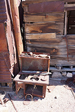 There was a wooden sign that said “Area Closed for Historic Structure Stabilization Work” but I interpreted that to mean that we shouldn’t use them as if they were Adopt-a-Cabins. There were two main buildings here, both in pretty good condition as Death Valley ruins go. One was a typical wooden building with some attached sheds, and the other was built into the side of a hill with a stone wall in front. Inside were shelves with neatly laid out artifacts. There was also some obvious new construction to shore up the roof, so the park service is clearly maintaining this. All this preservation and reconstruction is unusual for Death Valley, and curious because this report published by the park service says the site “has no historical importance, the buildings at the ranch do not deserve preservation”. We spent about 20 minutes here. There was a wooden sign that said “Area Closed for Historic Structure Stabilization Work” but I interpreted that to mean that we shouldn’t use them as if they were Adopt-a-Cabins. There were two main buildings here, both in pretty good condition as Death Valley ruins go. One was a typical wooden building with some attached sheds, and the other was built into the side of a hill with a stone wall in front. Inside were shelves with neatly laid out artifacts. There was also some obvious new construction to shore up the roof, so the park service is clearly maintaining this. All this preservation and reconstruction is unusual for Death Valley, and curious because this report published by the park service says the site “has no historical importance, the buildings at the ranch do not deserve preservation”. We spent about 20 minutes here.
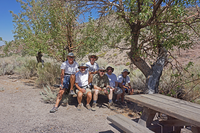
 The end of the road was only 500 feet past the buildings. Just before the end were two modern picnic tables (also unusual, especially for this very remote location) under what looked like apple trees, which I thought was strange for this dry climate. Near any ranch there is almost always a spring, and the map showed several of them nearby, so I suggested we take a walk to one. The main one had a name, Brier Spring, and was obviously in a stand of very green vegetation a few hundred feet beyond the end of the road. But here by the picnic tables we saw a trail going off to the left, heading toward more green vegetation up a little side canyon, where the map showed another spring, so I suggested we try this first. It was a nice little hike, but the trail soon petered out and the vegetation became impenetrable. Greg tried to skirt above it by doing a treacherous traverse on a near-vertical crumbly slope. But that didn’t work and we never saw the water. The end of the road was only 500 feet past the buildings. Just before the end were two modern picnic tables (also unusual, especially for this very remote location) under what looked like apple trees, which I thought was strange for this dry climate. Near any ranch there is almost always a spring, and the map showed several of them nearby, so I suggested we take a walk to one. The main one had a name, Brier Spring, and was obviously in a stand of very green vegetation a few hundred feet beyond the end of the road. But here by the picnic tables we saw a trail going off to the left, heading toward more green vegetation up a little side canyon, where the map showed another spring, so I suggested we try this first. It was a nice little hike, but the trail soon petered out and the vegetation became impenetrable. Greg tried to skirt above it by doing a treacherous traverse on a near-vertical crumbly slope. But that didn’t work and we never saw the water.
Back down by the picnic tables we then tried to get to Brier Spring. It was blocked by extremely dense stiff willows that we could not push through. There was no way to the spring without loppers, so we quickly gave up. Springs, springs everywhere, but not a drop of water.
It was now nearly 4pm, way too little time to go to any of the other spots in the Nevada Triangle, so we decided to head back to camp. With few stops, it took us a little over an hour to cover the 10-mile distance. The Death Valley Backcountry Roads map said this was 16 miles, but it didn’t show a major cutoff between the Phinney Canyon and Strozzi Ranch roads. So once again, we were back to camp at 5pm.
 One of our appetizers this evening was a very tasty shrink-wrapped trout that Bobby had brought. Dinner was shrimp and sausage jambalaya, and there was so much, we couldn’t eat it in one sitting. But it did finally get consumed a spoonful at a time throughout the evening. I don’t have any record of a night hike, but I think we walked down the closed road to the west again, much farther than the night before, but still nowhere near its alleged end at the prospect. Just before 10pm as we went to bed, the thermometer registered 55°, but it didn’t seem very cold because the air was absolutely still. One of our appetizers this evening was a very tasty shrink-wrapped trout that Bobby had brought. Dinner was shrimp and sausage jambalaya, and there was so much, we couldn’t eat it in one sitting. But it did finally get consumed a spoonful at a time throughout the evening. I don’t have any record of a night hike, but I think we walked down the closed road to the west again, much farther than the night before, but still nowhere near its alleged end at the prospect. Just before 10pm as we went to bed, the thermometer registered 55°, but it didn’t seem very cold because the air was absolutely still. 
|

